Real measurement data instead of theoretical coverage maps
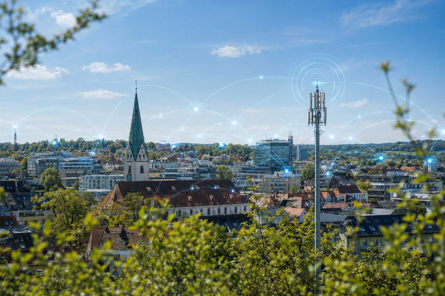
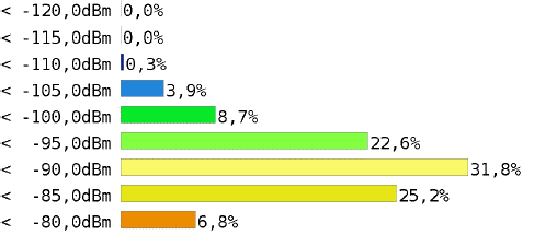
Publicly available coverage maps often provide only a theoretical estimate of network coverage. However, the actual quality of mobile network coverage can vary significantly depending on the building, topography, network operator, or network load.
With a professional mobile network survey, real coverage situations can be visualized and objectively evaluated. This provides cities, municipalities, and infrastructure managers with reliable data for further decisions and actions./p
From individual locations to area analysis
Depending on the task at hand, the survey can be conducted for individual buildings, municipal facilities, and properties, or on a large scale for cities, municipalities, counties, and campus areas.
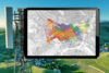
The results are presented graphically and can be used as a basis for evaluations, prioritization, expansion planning, or infrastructure-related issues.